Comments
Please wait...
Comments are closed.
Commenting on this item is available only to members of the site. You can sign in here or create an account here.
More In News

Editors' Picks


Popular Articles
is a proud member of the
 media network
All contents © Index Newspapers LLC
PO Box 86208, Portland, OR 97286
PO Box 86208, Portland, OR 97286
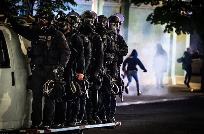
It looks like east berlin
What do I win?
This is quite possibly the worst photoshop job in history.
this is the Broadway Bridge (note the stairstep on big pink)
and it does look like east Berlin, but it is better than what we have now.
Also, east Berlin is the shit. I don't get all the hate.